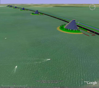
Google Earth (.kmz) export
KMZ is a file format used to display geographic data in an Earth browser such as Google Earth, Google Maps, and Google Maps for mobile.
To save as or export a Rhino model
- On the File menu, click Export Selected or Save As.
- In the dialog box, the Files of type list displays the currently supported file types for export.
- In the Files of type box, select the supported file type.
- In the File name box, select or type a file name.
- If the export can be configured, click the button to specify export settings.
- Mesh file types export NURBS surfaces as meshes either with the specified meshing options, or the document render mesh settings.
Note
- Google Earth .kmz files can be published on your web site like an other web-compatible file type (.html, .jpg, .gif, etc.) but your web server needs to be aware of .kmz files.
- Use the EarthAnchorPoint command to set the earth anchor point.
- Work in building-sized units, like meters.
- Set the Perspective view lens length to 21mm. This closely matches the camera angle used by Google Earth.
- When you save the Google Earth file, make sure you are in a Perspective viewport looking at the object from above ground level.
- Mesh complicated polysurfaces and keep the meshes small.
- The diffuse material color is what shows in Google.
- You can open, edit, and save .kmz files with Google Earth to add additional features beyond 3‑D geometry.
See also
Use Rhino to create a 3-D model of a bridge in Google Earth