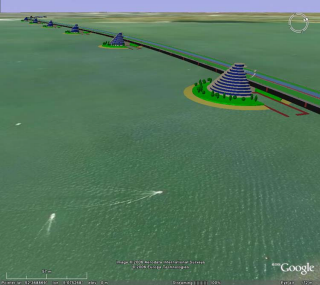
KMZ is a file format used to display geographic data in an Earth browser such as Google Earth, Google Maps, and Google Maps for mobile.
使用 Rhino 建立 Google Earth 裡的橋樑模型

Rhinoceros 6 © 2010-2017 Robert McNeel & Associates. 10-一月-2018